Under NDA
Under NDA

Team composition
5 members
Client name
Under NDA
Expertise used
Duration
9 months
Services provided
UI/UX design, Software architecture, System integration services, Manual testing, Automated testing, Software audit
Country
Under NDA
Industry

Any gas and oil activity means the regular accumulation of huge volumes of data gathered by satellites and other telecommunication devices. The key to outrunning competitors is the speed of processing data, extracting valuable analytics, and managing regular workflow. In this regard, cloud solutions are highly efficient at speeding things up, making corporate interactions more accessible, and reinforcing the security of data.
We had to develop a site inspection application that collects data from satellites, structures, and stores it in the client’s database for further processing. The major capacity to implement was the software’s ability to transfer large volumes of data at a high remote connection speed. Due to the specific nature of the data transferred, we also had to provide reinforced security.
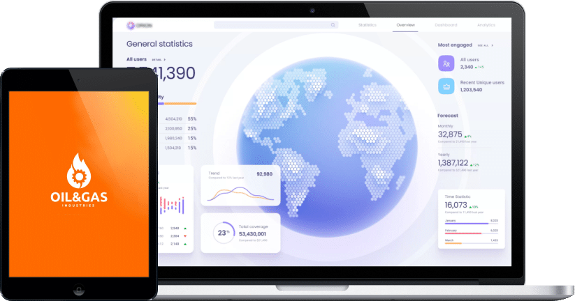
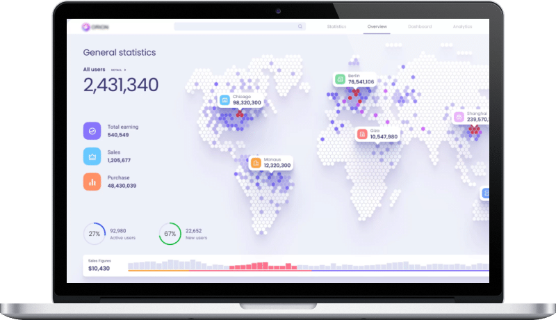
In the long run, the team at DICEUS developed a cloud-based satellite data gathering application to make the life of profiled specialists easier and boost the efficiency of site inspection initiatives. Oil and gas experts can now readily access fresh geospatial images and other assets conveniently structured within the intuitive interface.


With collaborative reports, we improved internal and external stakeholders management.
It is now much easier to control all the assets. The employees have round the clock access to oil and gas data.
The staff can now conduct inspections in hard-to-reach or hazardous locations. It helps to check the system and make sure of its safety thoroughly.
By creating visual documentation across all sites, you can save all the information, including dates and numbers, in one place. Any team member can read or check it if needed.
You can capture all data for any map, model, or analysis with photos, panoramas, and videos.
It has never been this easy to provide the government agencies with up-to-date maps of wells and facilities.